
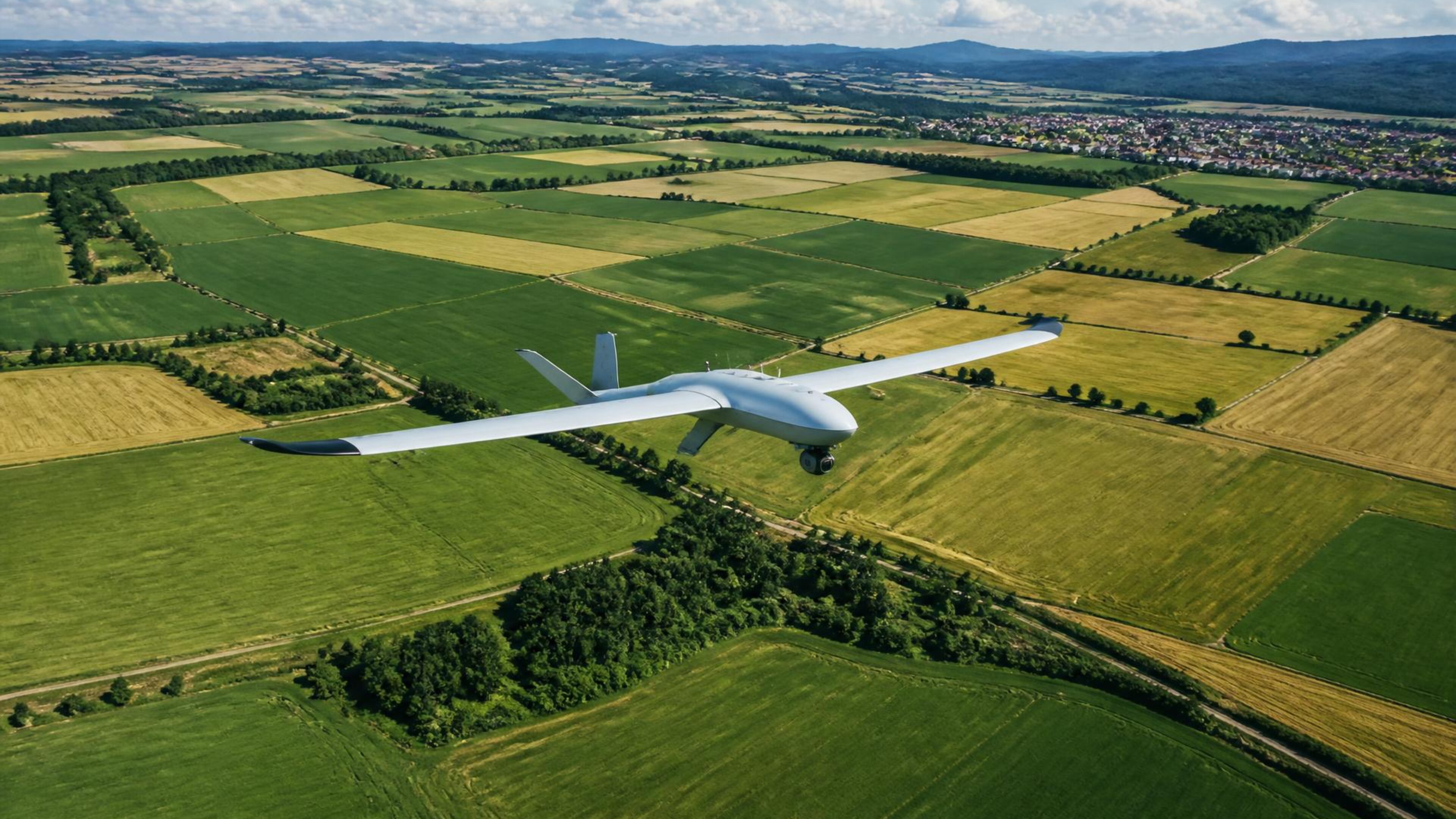
Drone services
Aerial mapping
Current, high-resolution field imagery for boundaries, planning and documentation.
Measure your field
€25 / ha
Fixed service rate
01
What you receive
- Georeferenced orthomosaic
- Measured field boundary and area
- High-resolution visual export
- Shareable operation summary
02
How the work runs
- 01Confirm the field boundary
- 02Plan safe image coverage
- 03Fly the mapping grid
- 04Process and deliver the map
€25 / ha
Fixed service rate