 AfterBefore
↔
01
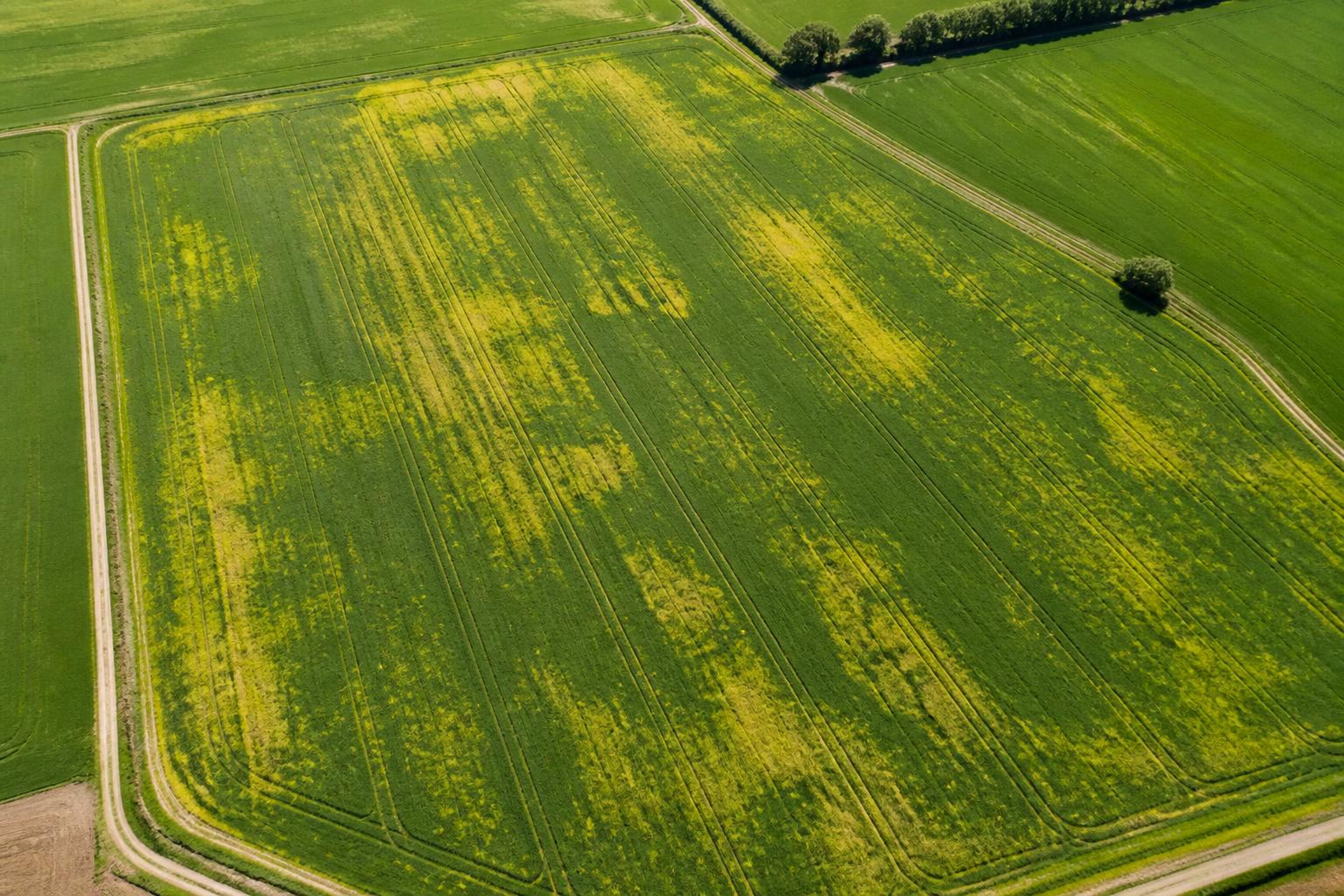
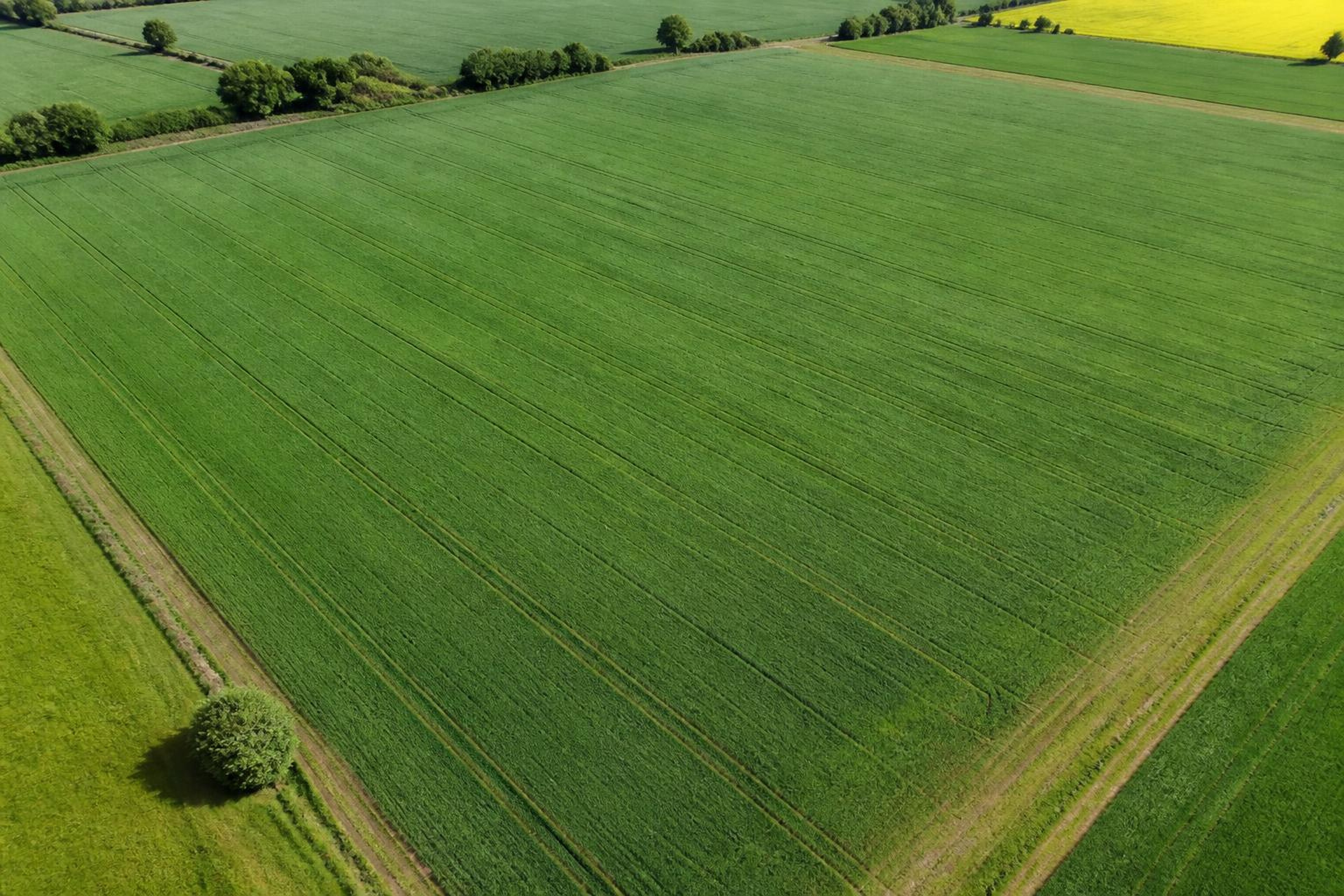
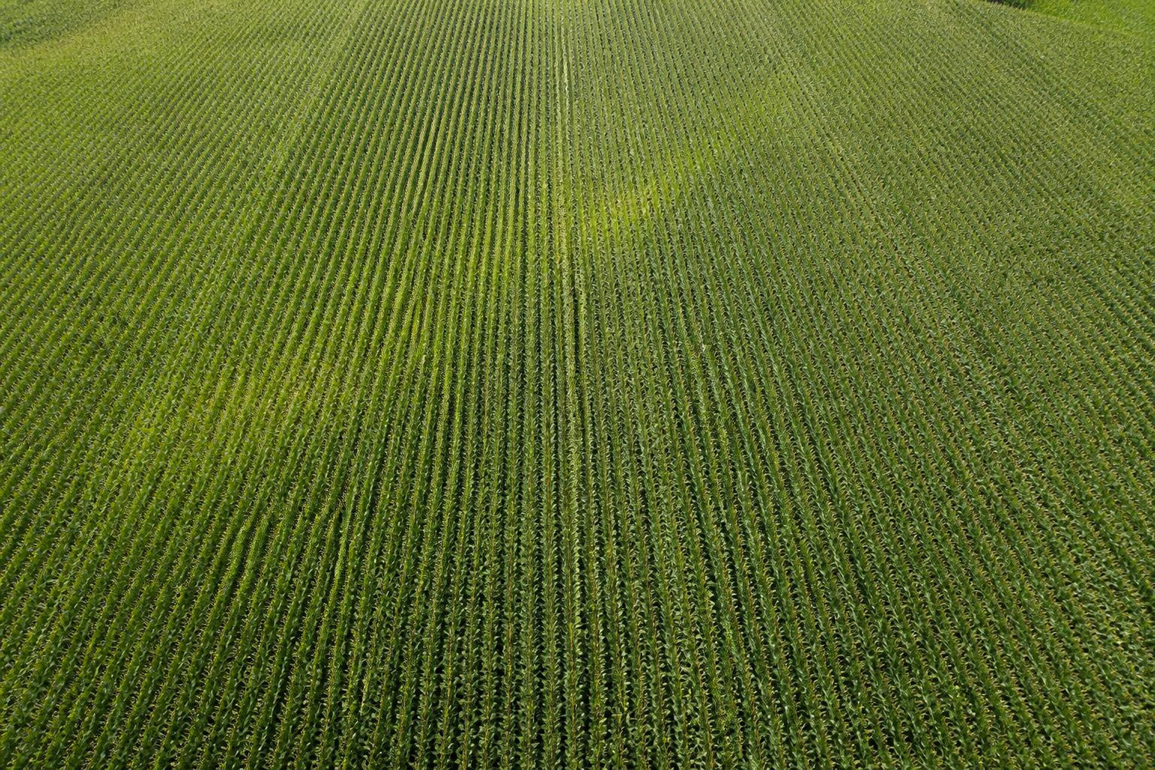
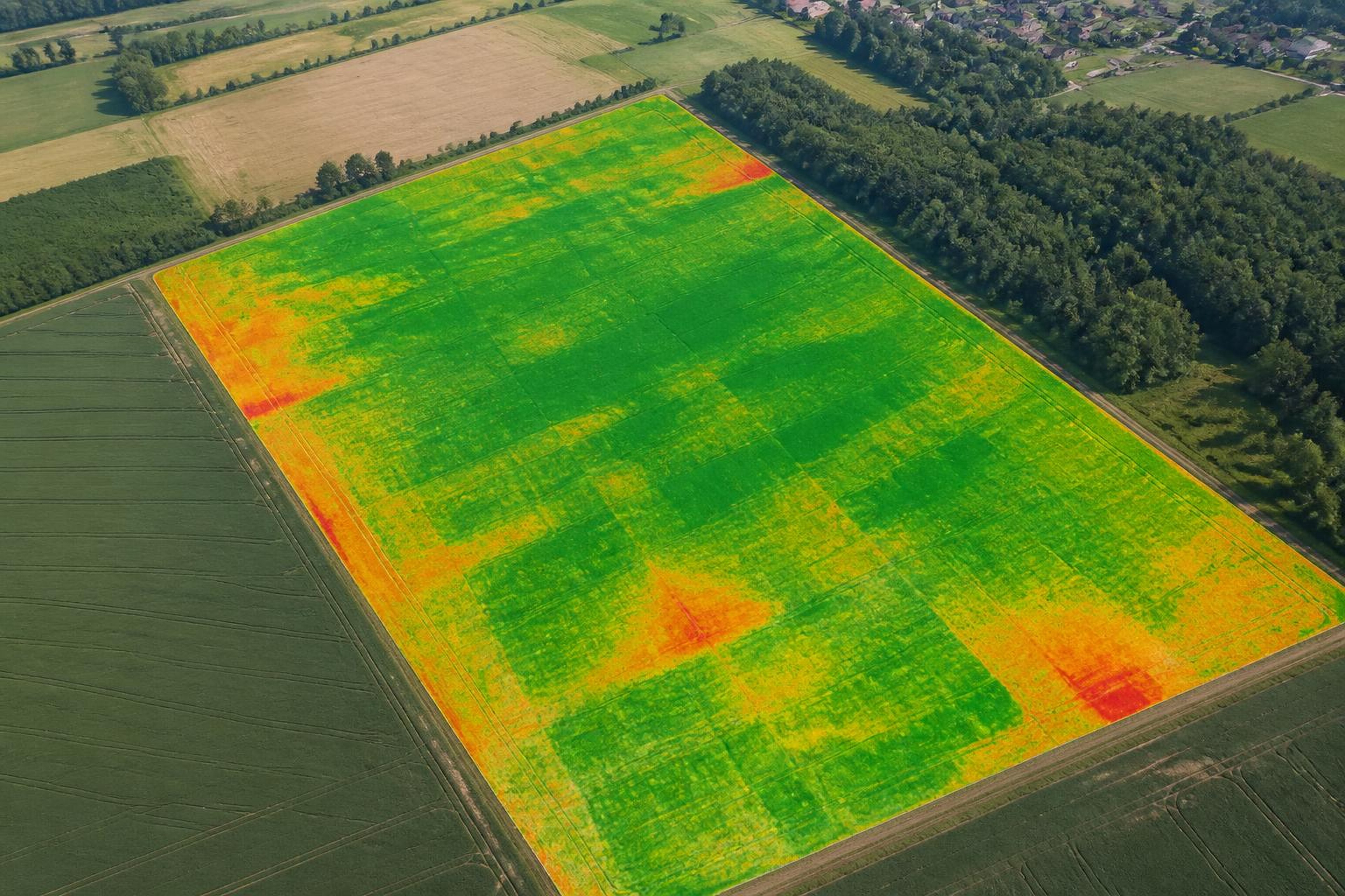
Targeted drone fertilizing
- Example area
- 64 ha
- Representative outcome
- More even canopy following targeted nutrient application planning.

Project portfolio
Interactive before-and-after demonstrations of the outcomes our drone workflows are designed to produce.
Generated project demonstrations — not verified client case studies. Replace with authentic SkyCore project photography and measured results when available.
AfterBefore01
 AfterBefore
02
 AfterBefore
03